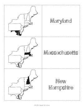
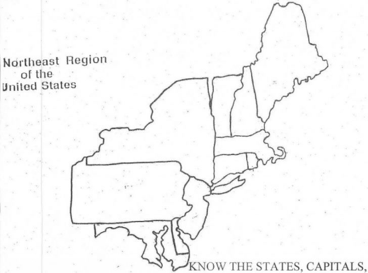
Explore the Northeast with a Free Printable Map of States and Capitals


Introduction to the Northeast Region
The free printable Northeast states and capitals map is a versatile tool that can be used in a variety of educational settings. Teachers can use the map to help students learn about the different states and their capitals, while also exploring the region's geography, history, and culture. Students can use the map to complete assignments, conduct research, or prepare for tests and quizzes. The map is also a great resource for homeschooling families or anyone looking to learn more about the Northeast region.